This is a subsidiary page. My Morocco pictures site has a main page which gives you the links you need for more.
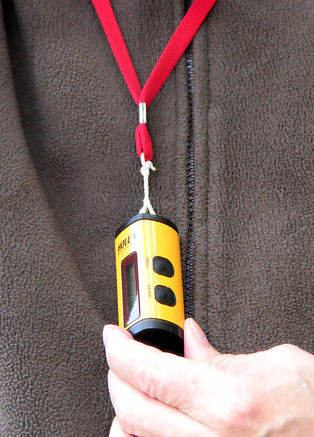
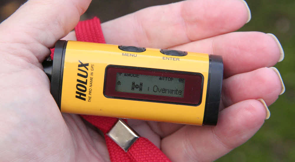
Remember this little device? Often to be found around my neck? It was recording GPS data. The results are below.
This page has maps of our daily travel. Although they are both still a-building, I would refer you also to the hotels and the itinerary pages. This page is mainly for the intense data junkie.
I wish I could give you the interactive experience. On my machine, running the software which was free with my data logger, I can hover on any point in the journey, and know when I was there, how fast we were going, etc. The Holux M-241 is a splendid device... the little yellow "thing" on the red strap. About $40 at eBay. I've written a full review commending the Holux M-241. I must warn you, though... research the current situation vis a vis the fact that Google moved the goalposts sometime in the three years prior to 11/13.... my OLD Holux software installed well on an XP laptop, but I couldn't, 11/13, get easily a Google API key to allow the previously marvelous integration between the Holux and Google Maps. The logger still worked, though, and it still drew the lines, the graphs, and geo-tagged my photos.
There is an ouline overall map of our journey at the bottom of the trip report's main page, and there are more detailed comments on where we were, and when, on the detailed itinerary page. But if you had any questions about exact route, this is the page for you! Futhermore, if, fellow trip participants, you wondered "where were we at 10:38 on the 7th?", then send me the time and date of your puzzle, and I can look up the lat/ long from my interactive acess to the maps shown below.
Please note: The maps are at different scales. There is a scale indicator in the lower right corner of the map part of each image.
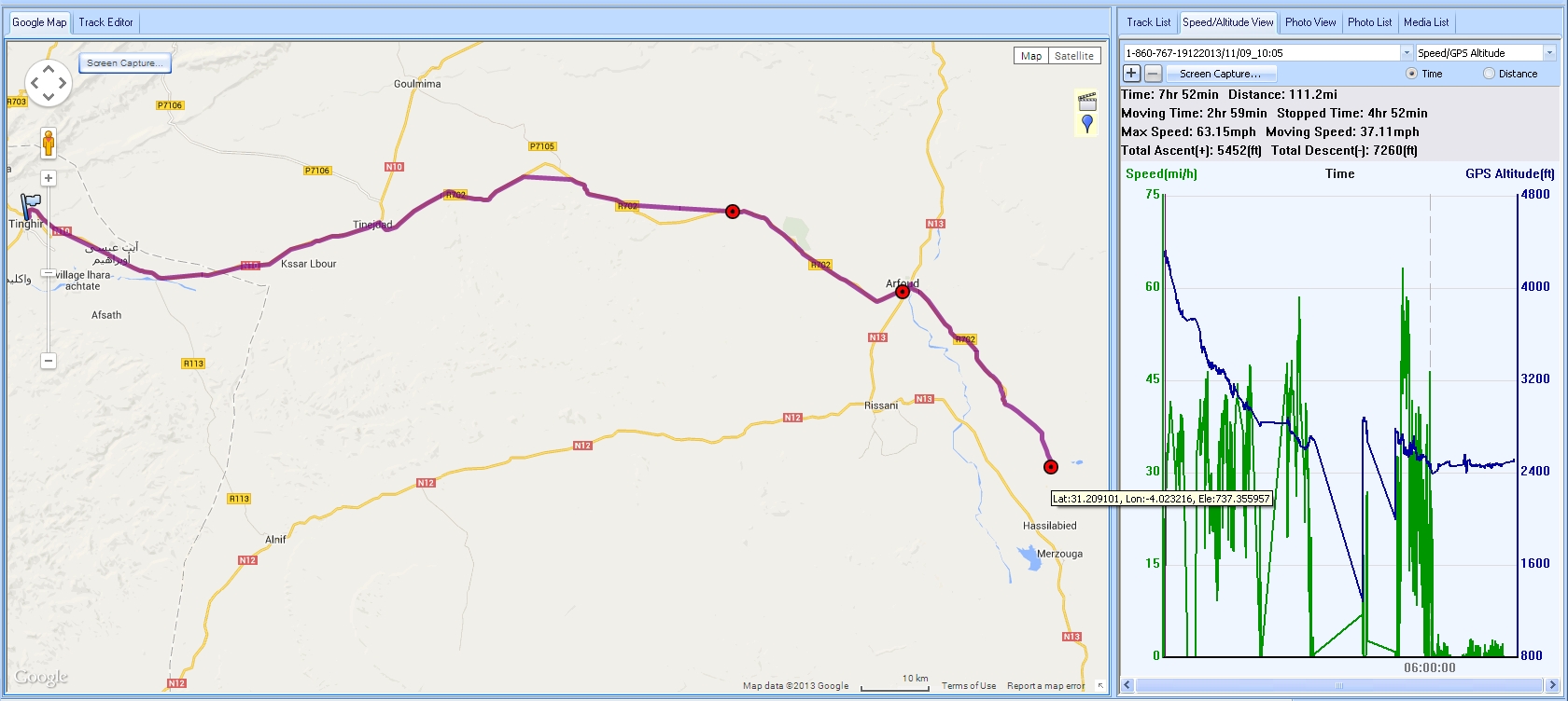
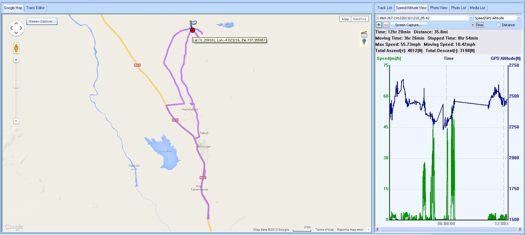
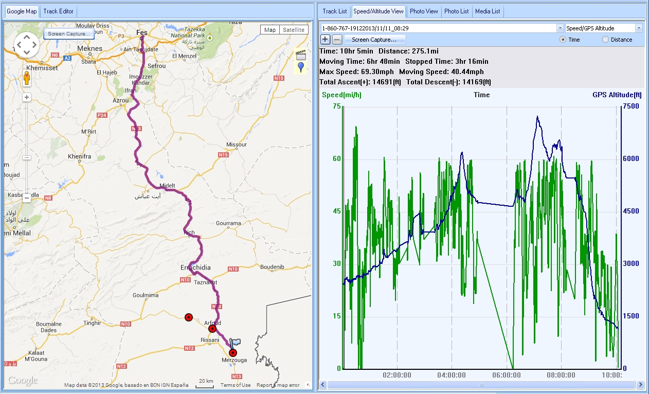
I've put some "where we went, when" information here, but for more detail, see the Itinerary page. You may want to open that in a new window, and display the two windows side by side. (Right-click on the link. Firefox, at least, will offer a "in new window" option.)
A Holux will not replace a TomTom, but it does have a "get me home again" function, if you remembered to "start" the "trackback" while you still knew where you were. It also displays lat/long, if you want to put something down with ink, on paper, during the day. Many features built into that nice little battery friendly display.
Many of our group flew through the day of the 2nd, and were in planes over the night of November 2nd -> 3rd. A few opted to arrive in Marrakesh on the 2nd.
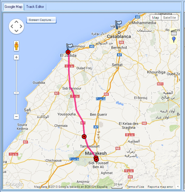
Started day in Casablanca... but I forgot to turn Holux on! Drove to coastal city of El Jadida, saw fun things, then drove down to Marrakesh, which is shown on map!
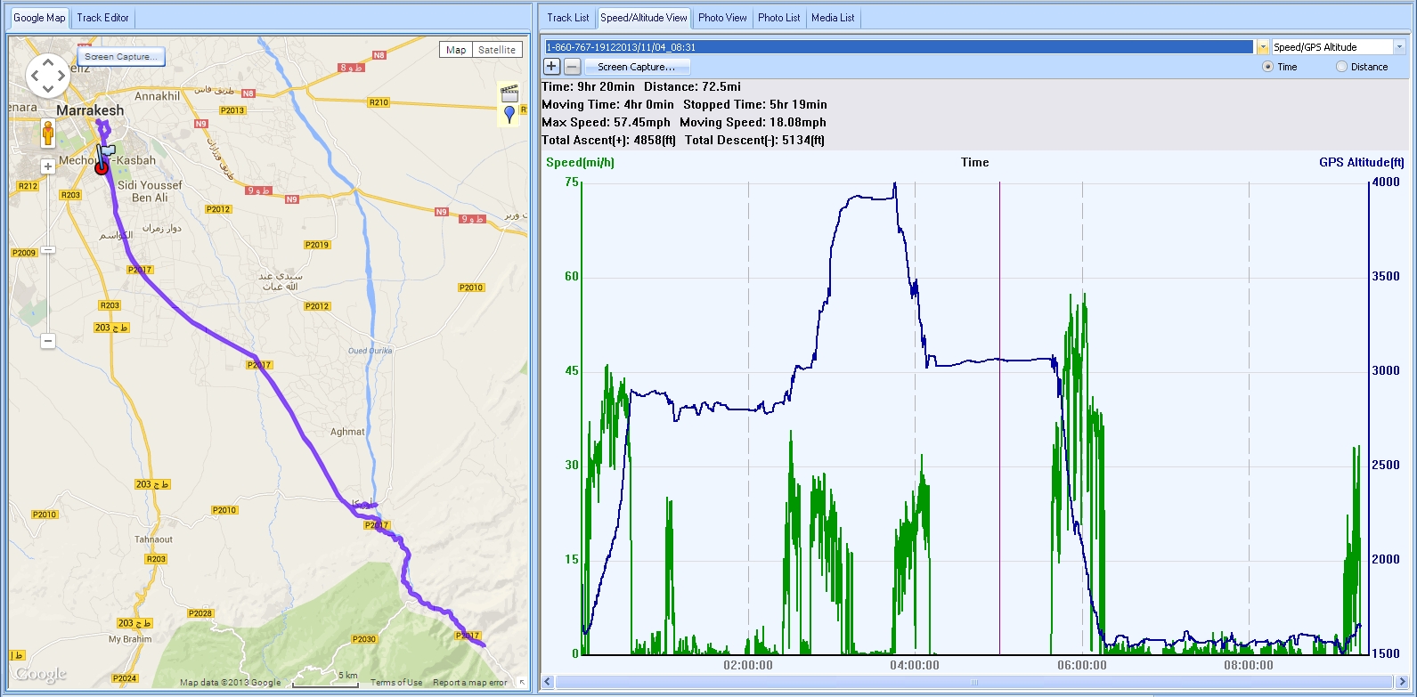
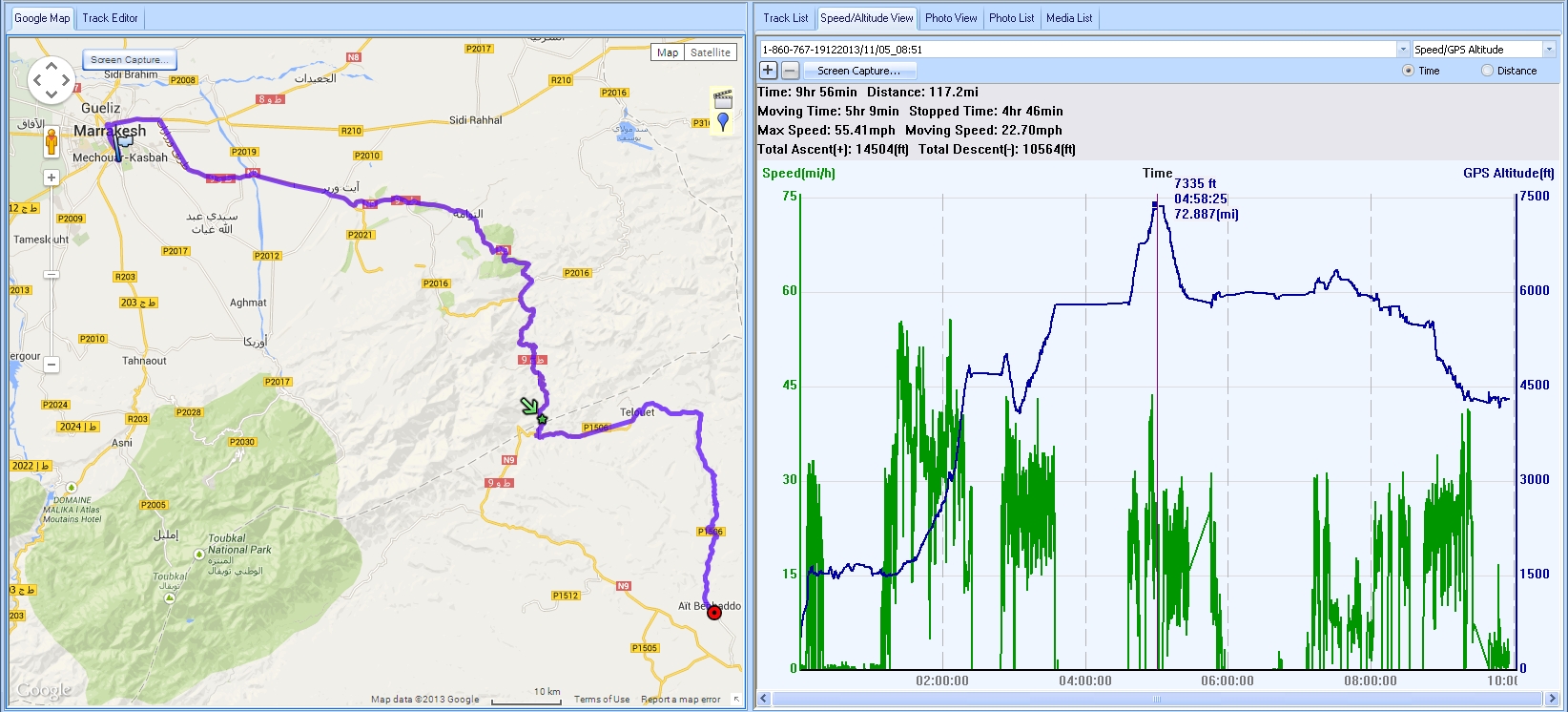
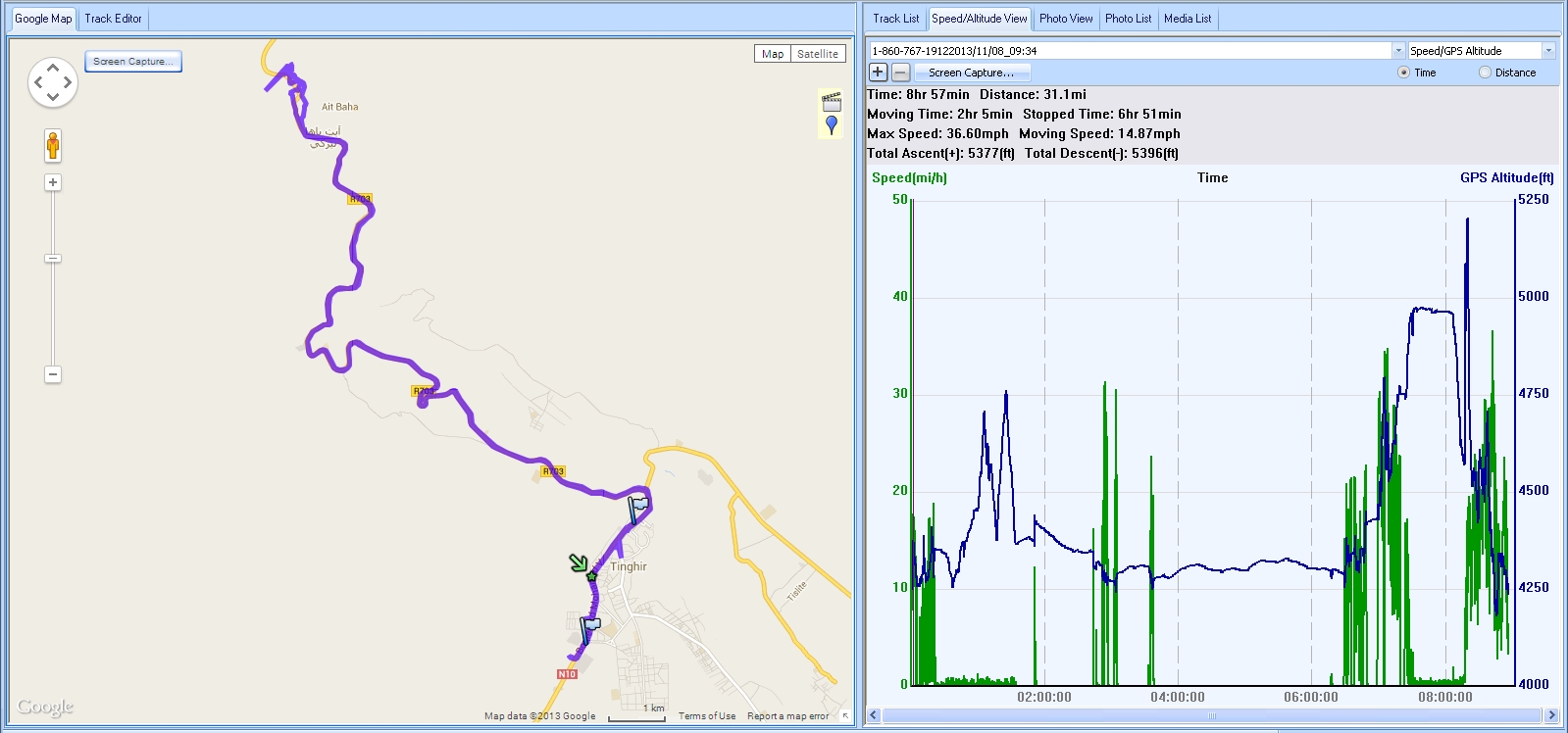
A round trip into the mountains. Started in Marrakesh (about 1500 ft above sea level), southwest across plain, and then up into mountains, to about 4000 ft. Back to same hotel (as night before) in Marrakesh for evening.
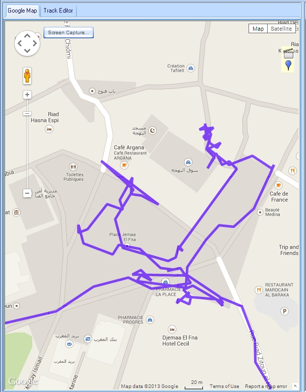
4pm- 5:30pm... enjoying the Place Jemaa El Fna and environs, on foot
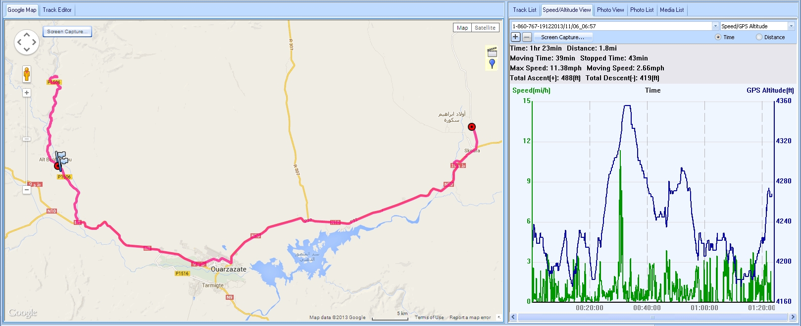
Not all we did that day! And we were being given chance to "charge batteries" before longer day on the 9th.
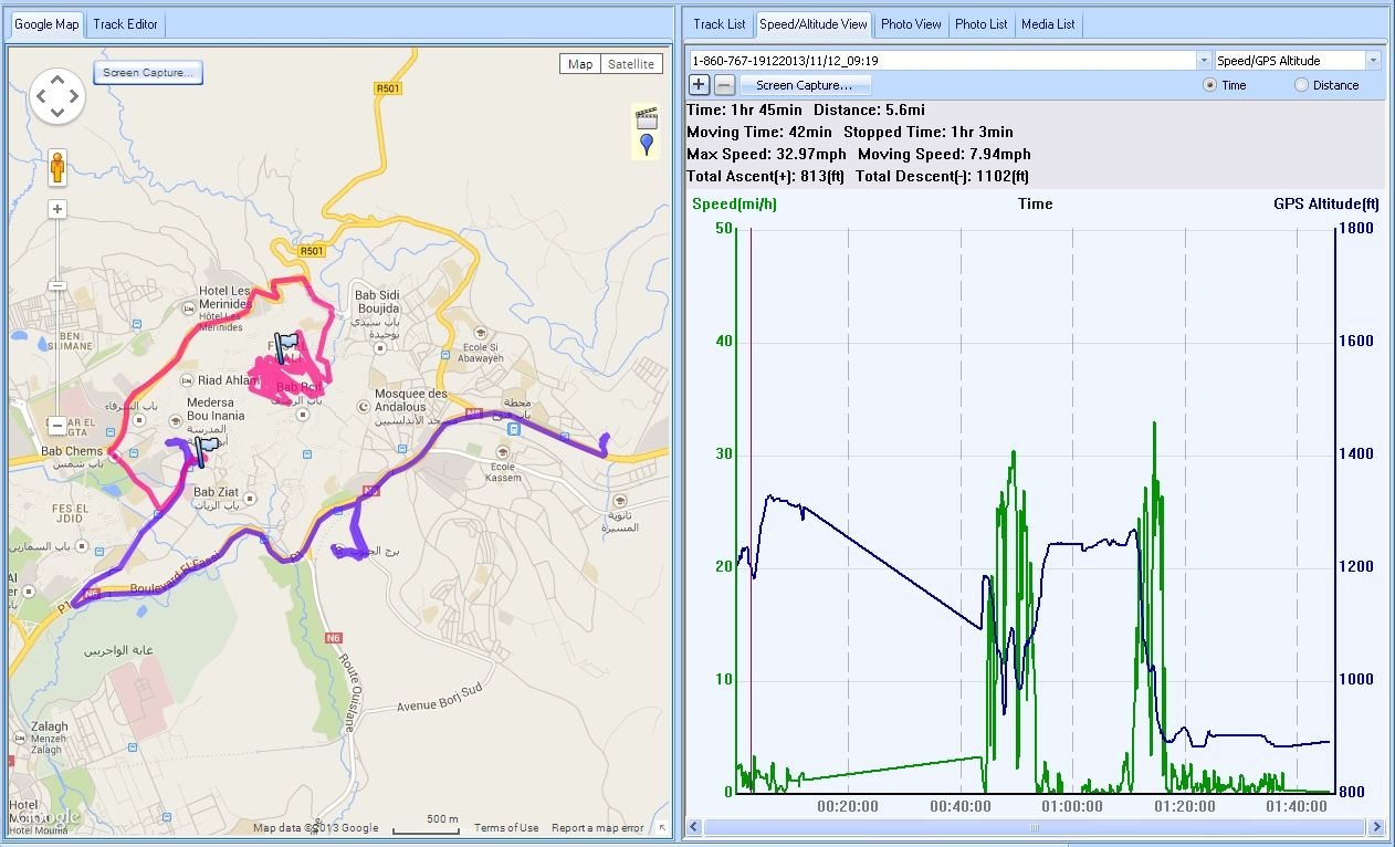
Purple is morning's outing, red is afternoon's (exploring medina, on foot). Speed/ altitude chart is for the morning segment.
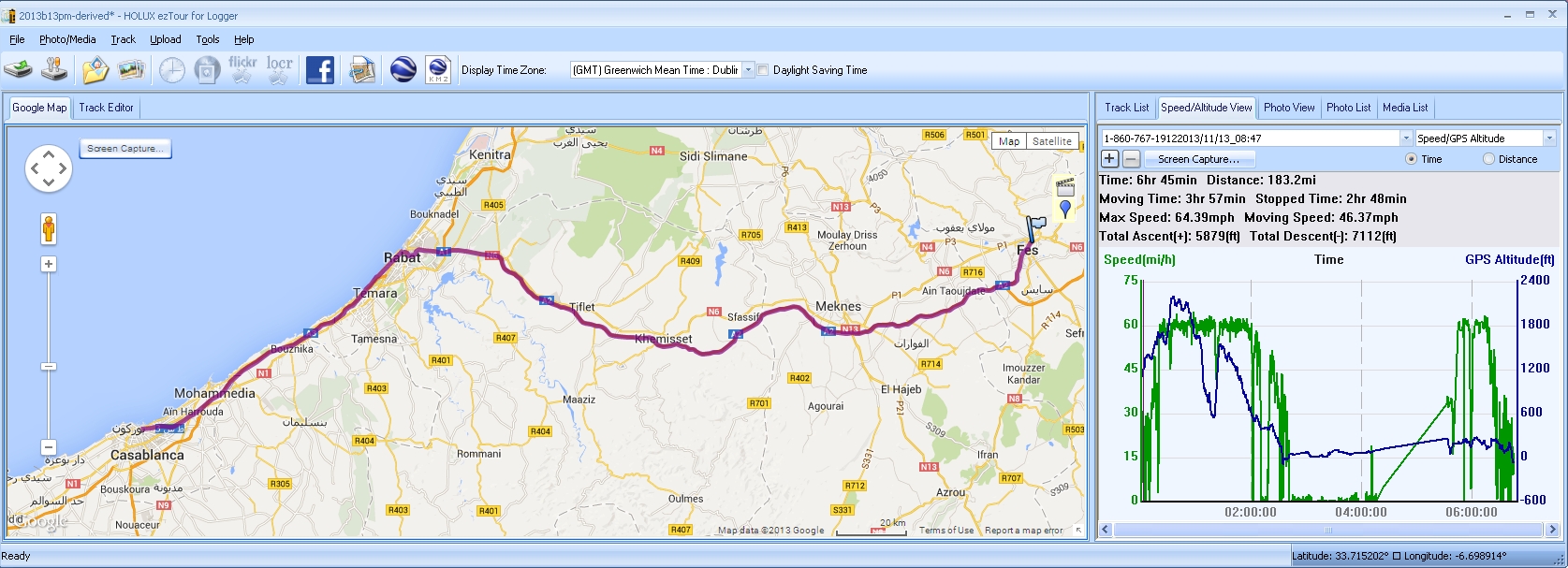
8:45 to 1:10: Drive from Fes to Rabat.
2:20 to 3:30: Drive from Rabat to Casablanca
We were still in Morocco this day, though our photographic leader only for a few hours... but all that happened was that we went from hotel in Casablanca to local airport to surrender ourselves to the maw of international travel. Poor Ismail had been needed in Marrakesh for the 14th, so, after an already long day on the 13th, he set off on the 3 to 4 hour drive down to there, late in the afternoon, after making sure that our every need and want had been taken care of at the hotel before he set off.
This page © TK Boyd 5/12. Click here to contact him.
You are also invited to Tom Boyd's homepage, including Windows software for schools, kids, and others.
![]() Page WILL BE tested for compliance with INDUSTRY (not MS-only) standards, using the free, publicly accessible validator at validator.w3.org. Mostly passes. There were two "unknown attributes" in Google+ button code. Sigh.
Page WILL BE tested for compliance with INDUSTRY (not MS-only) standards, using the free, publicly accessible validator at validator.w3.org. Mostly passes. There were two "unknown attributes" in Google+ button code. Sigh.
- - - Page ends - - -